Nightlight in Ukraine (2021)
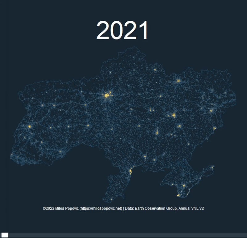
An animated visualization of Ukraine's nighttime lights in 2021, showing light emissions from cities and settlements across the country.
Problem
Nighttime satellite imagery reveals patterns of human settlement and activity. Creating an animated visualization shows temporal changes and draws attention to the data.
Outcome
A compelling animated visualization of Ukraine's nightlight emissions, highlighting urban centers and infrastructure patterns.
Method
Processed VIIRS nighttime lights data using R with terra and raster packages. Created animation with gganimate to show the data dynamically.
Deliverables
- Animated GIF (optimized for social media)
- Full R code with documentation
- YouTube tutorial
Results & Impact
Timely visualization that gained significant attention for showing Ukraine's urban infrastructure.
Source: Social media engagement (2024-11) — High engagement rate on animated content
Tools
- R
- terra
- raster
- gganimate
- ggplot2
Data Sources
- Earth Observation Group, Annual VNL V2
Links
Want a map like this?
Let’s scope your project and define the fastest path to impact.
Book my consultation